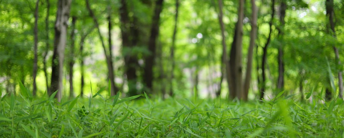
Singapore, the ‘City in a Garden’, embodies the ‘green city’ concept with over 7 million urban trees covering 700 km2. New Zealand, with 24% of its 270,000 km2 land covered in forest, also actively supports and promotes urban regreening in many of its cities. Sustaining and enhancing biodiversity and healthy living environments are priorities for Singapore and New Zealand that require careful management of trees in urban areas and forests. Reliable information, models, and analysis of trees and their interaction with the surrounding environment are essential to inform management decisions. However, these are currently limited by the quality of available data, tools, and techniques.
Leveraging their joint expertise in data science, remote sensing, and 3D modelling, the project team propose a proof-of-concept integrated methodology. The team will develop novel data-science methods for extracting tree species information from petabytes of multiresolution remote-sensing data to model tree species and their interactions with the environment, and subsequently analyse their socio-economic impacts. This work will form the basis for future research collaborations to enable further modelling, simulation, and analysis. In the long term, their work will empower and inform decision-makers on trees and environmental considerations for the greater benefit of both New Zealand and Singapore.
Singapore Host Institution: A*STAR Institute of High Performance Computing (IHPC)
New Zealand Host Institution: Manaaki Whenua – Landcare Research (MWLR)
Principal Investigators: Dr. Like Gobeawan (IHPC) and Dr. Jan Zorner (MWLR)
Co-Investigators: Associate Professor Lee Bu Sung (Nanyang Technological University, Singapore), Dr. Lim Chi Wan (IHPC), Dr. Yang Feng (IHPC), Professor Richard Green (University of Canterbury, New Zealand), Dr. Yu Shyang Tan (Scion, New Zealand)
Collaborator: Professor Mengjie Zhang (Victoria University of Wellington, New Zealand)